Education
Johns Hopkins University
Krieger School of Arts and Sciences
Master of Science in GIS
Krieger School of Arts and Sciences
Master of Science in GIS
Baltimore, MD
January 2023 - (in progress)
January 2023 - (in progress)
Marshall University
Bachelor of Science in Geography
Minor in U.S. History
Bachelor of Science in Geography
Minor in U.S. History
Huntington, WV
August 2019 - December 2021
August 2019 - December 2021
Roane State Community College
Associate of Applied Science in GIS Technology
Associate of Applied Science in GIS Technology
Oak Ridge, TN
August 2017 - May 2019
August 2017 - May 2019
Software Experience
ESRI ArcGIS Pro 3.x | ArcGIS Desktop | ArcPy | Arcade | ArcGIS Online - Field Maps, Story Maps, Survey123 | Autodesk AutoCAD | Adobe Photoshop, Illustrator, Acrobat | Microsoft Office - Word, Excel, PowerPoint |
Python 3.x | RStudio | ERDAS Imagine | IBM SPSS | QGIS | SOCET SET
Python 3.x | RStudio | ERDAS Imagine | IBM SPSS | QGIS | SOCET SET
Professional Experience
Roane State
Community College
The Learning Center
Community College
The Learning Center
Oak Ridge, TN
August 2019 - Present
August 2019 - Present
GIS Tutor (part-time)
Assist students with GIS concepts and ESRI ArcGIS software as an embedded tutor.
Lead students on Campus Mapping project using ArcGIS Pro and ArcGIS Online apps to collect, display and analyze project data.
Provide GIS support and feedback on an individual or project team basis.
Collaborate with GIS students and external clients to meet goals for term projects.
Assist GIS instructor with classroom progress.
Knoxville Utilities Board
Gas Systems Engineering
Gas Systems Engineering
Knoxville, TN
November 2017 - August 2019
November 2017 - August 2019
GIS Mapping Student (internship)
Generated applicable maps as needed for internal clients using ArcGIS (10.2.x) for cyclical regulatory requirements and internal communications; digitized new features as needed from field staff notes using ArcFM.
Queried and validated GIS enterprise data as needed; researched historical records for relevant information; generated maps and models (Model Builder) to analyze data; generated maps and reports with recommended solutions for the GIS team.
Arcadis US
Environmental Division
Environmental Division
Knoxville, TN
July 2011 - February 2016
July 2011 - February 2016
--
Novi, MI
January 2007 - July 2011
January 2007 - July 2011
CAD/GIS Technician
Provided graphic support to a wide variety of internal clients using primarily Autodesk AutoCAD (200x – 2014) and ArcGIS (9.3.1 – 10.2.2)
Generated hard/softcopy maps for cyclical reports, feasibility studies, remediation system drawings, and other client needs for projects located across the U.S. and Canada
Drawings and maps include - engineering drawings (e.g., remedial system design & construction); geology maps (e.g., groundwater elevation, soil cross-section); and general site location maps.
Graphic support for emergency response team (e.g. - derailments/spills)
IOCAD Engineering Services
Huntsville, AL
December 1999 - April 2004
December 1999 - April 2004
--
Detroit, MI
July 2005 - September 2007
July 2005 - September 2007
GIS Operator/CAD Technician
Digitized hardcopies of as-built drawings of wastewater facilities, for an external client, around Detroit, MI using AutoCAD 2002/2007. Performed site visits as needed to update as-built drawings as needed
Digitized land features from classified orthophotos to create Topographic Line Maps (TLM), using ESRI ArcGIS 8.x, ArcView 3.1, and the PLTS extension
Utilized BAE Systems Socet Set 4.x to digitize 3-D features using classified stereo-orthophotos and edit DEMs
Additional Work
Antonio Smith and David J. Trowbridge. "GAR Michigan Lombard Post No. 170 Memorial."
Clio: Your Guide to History. July 10, 2021.
Accessed January 13, 2023. https://www.theclio.com/entry/136590
Awards
TNGIC 2024 Conference Best Cartographic Map - The Twists & Turns of the Tail of the Dragon [Link to Map]
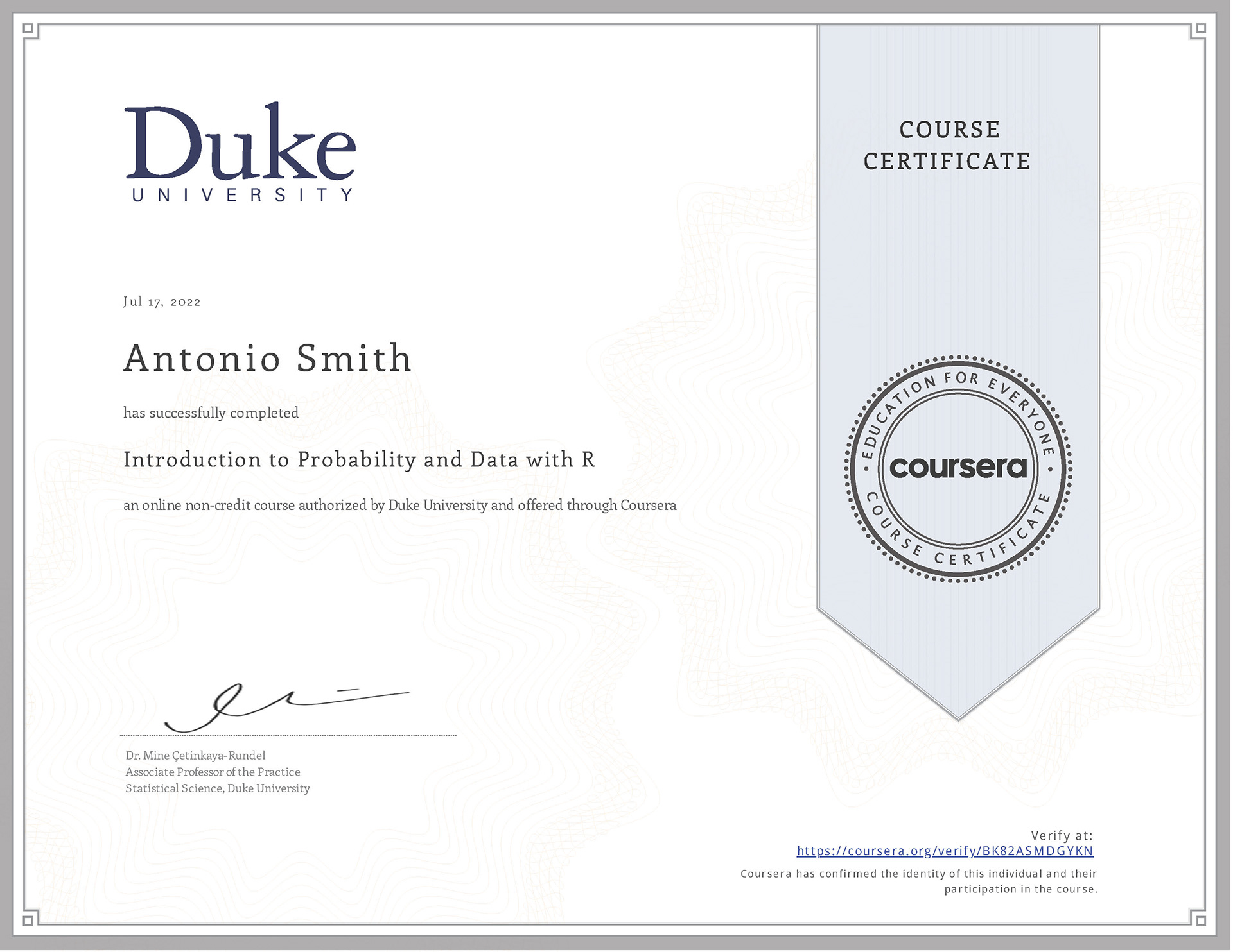
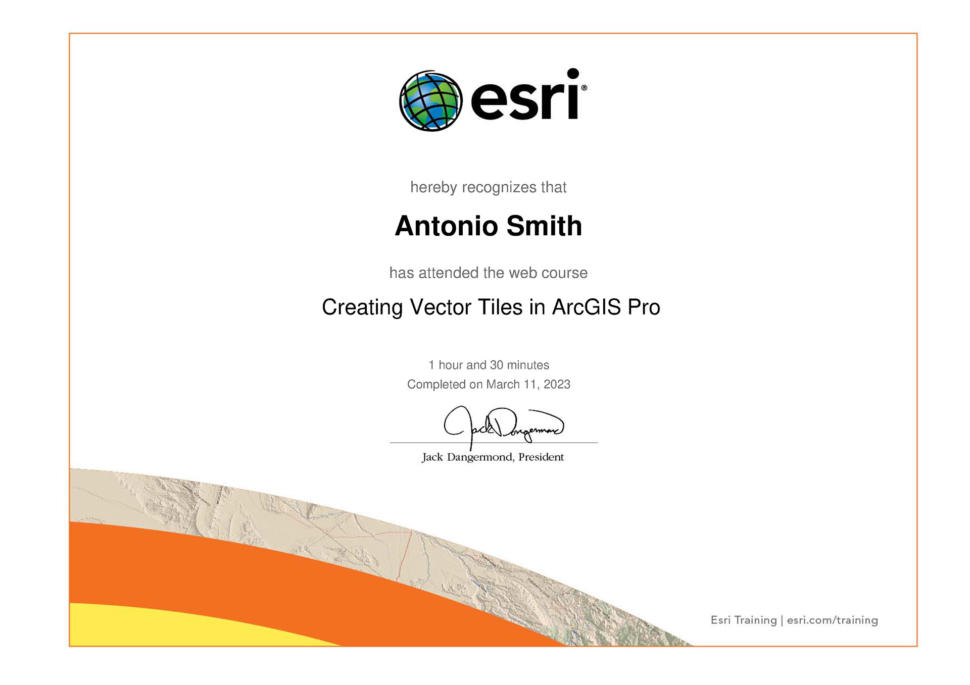
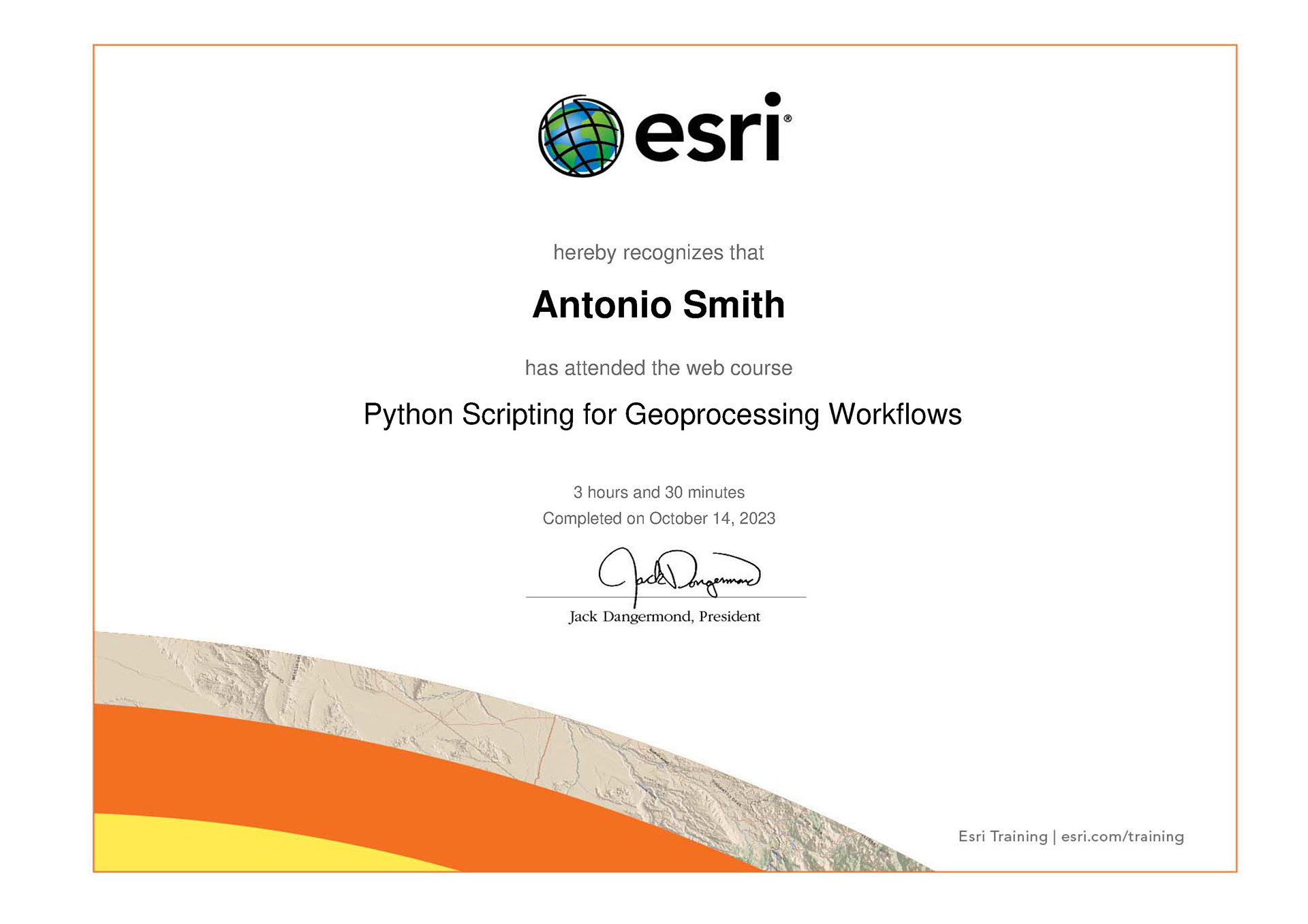
Certificates


